| This Afternoon  Mostly Sunny |
Monday Mostly Sunny |
Tuesday Sunny |
Wednesday Sunny |
Thursday Sunny |
Friday Sunny |
Saturday Sunny |
|
| High: 68 °F | High: 66 °F | High: 65 °F | High: 62 °F | High: 60 °F | High: 65 °F | High: 65 °F | |
Tonight Partly Cloudy |
Monday Night  Partly Cloudy |
Tuesday Night  Mostly Clear |
Wednesday Night  Partly Cloudy |
Thursday Night  Clear |
Friday Night  Clear |
Saturday Night  Mostly Clear |
|
| Low: 37 °F | Low: 35 °F | Low: 34 °F | Low: 34 °F | Low: 35 °F | Low: 37 °F | Low: 36 °F | |
Ben's WX Summary
- Updated: Sunday @ 06:22pm
High pressure aloft will weaken in the coming days, leading to a gradual cool-down this week as our forecast remains dry for now. A strong Pacific storm will drench Northern and Central California with an atmospheric river through midweek, but unfortunately, this system will weaken drastically as it reaches Southern California. We'll be left with some gusty winds and cooler temperatures, though we could squeeze out some marine layer drizzle down near the coast. Expect mostly sunny skies on Monday and Tuesday as highs remain in the mid-60s with overnight lows in the 30s. As the onshore flow strengthens, so will westerly winds with gusts of 15-25 mph during the afternoons. That weakening front will pass through our area on Wednesday, knocking highs back down into the upper 50s and lower 60s, warming Friday into next weekend as high pressure returns. Longer range continues to hint at a formidable winter storm moving through the area around the middle of the month, which should bring our next decent shot at some rain or snow, stay tuned!
| Current Conditions | Wind | Rain | Outlook | ||||||||||||||||||||||||||||||||||||
|
|
|
|
||||||||||||||||||||||||||||||||||||
| Humidity & Barometer | Snowfall | Moon | |||||||||||||||||||||||||||||||||||||
|
|
|
|||||||||||||||||||||||||||||||||||||
| UV Index | Solar Radiation | ||||||||||||||||||||||||||||||||||||||
|
|
||||||||||||||||||||||||||||||||||||||
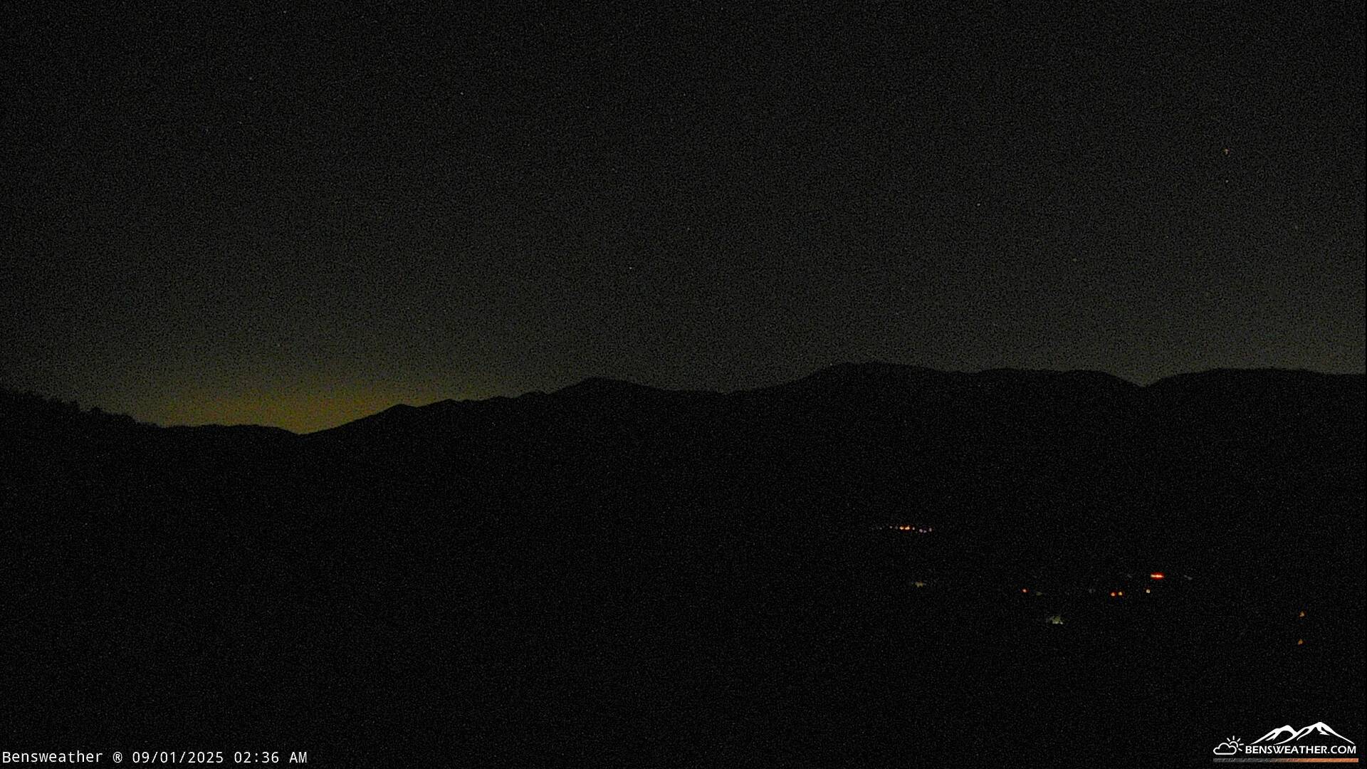
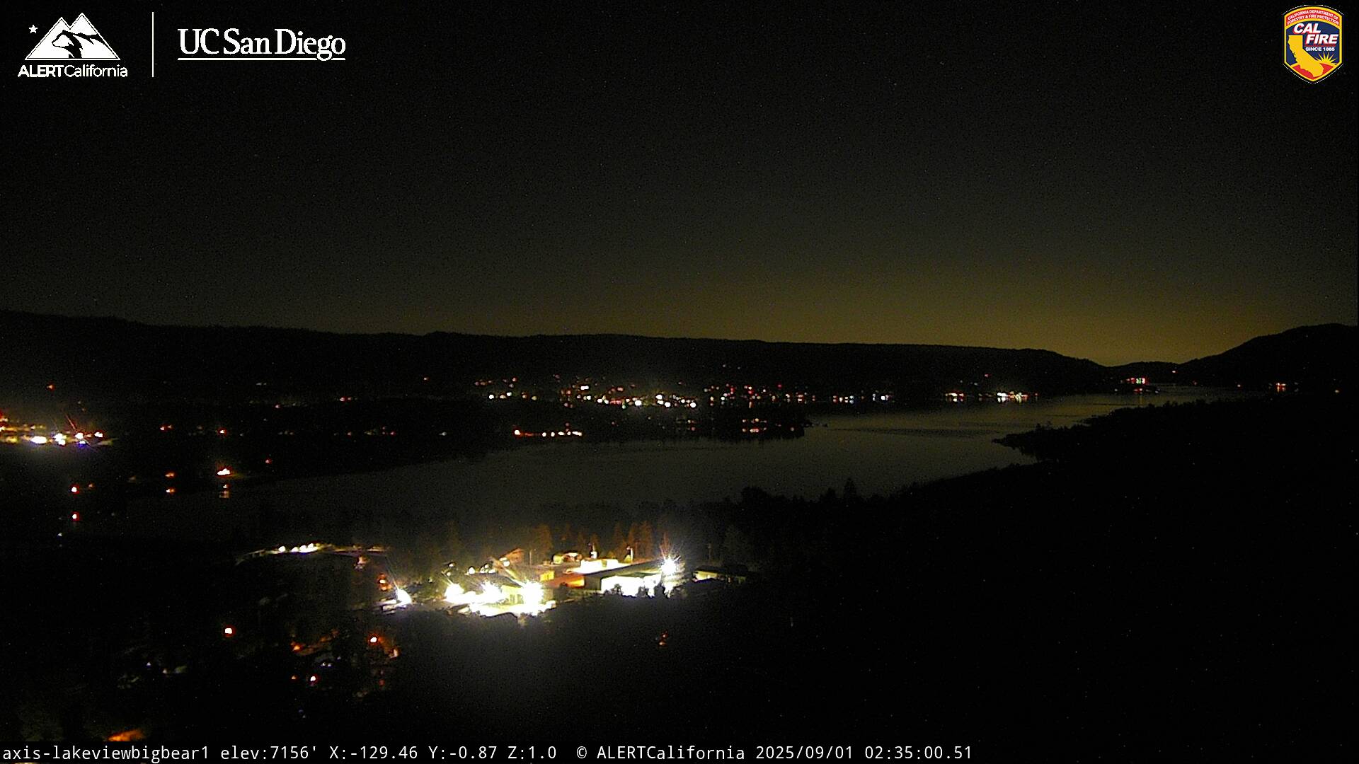
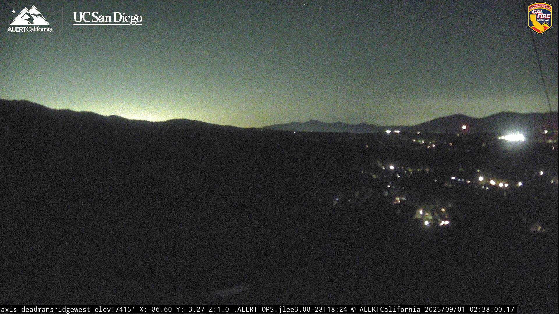
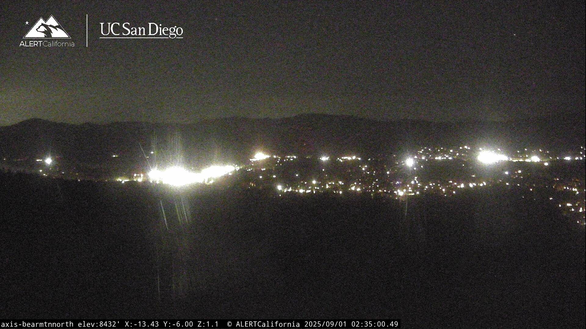
Live Cams
