|
|
Benseather.com Forecast
|
|
Bensweather.com Forecast Updated: Monday, Jul 14 @ 12:47pm
|
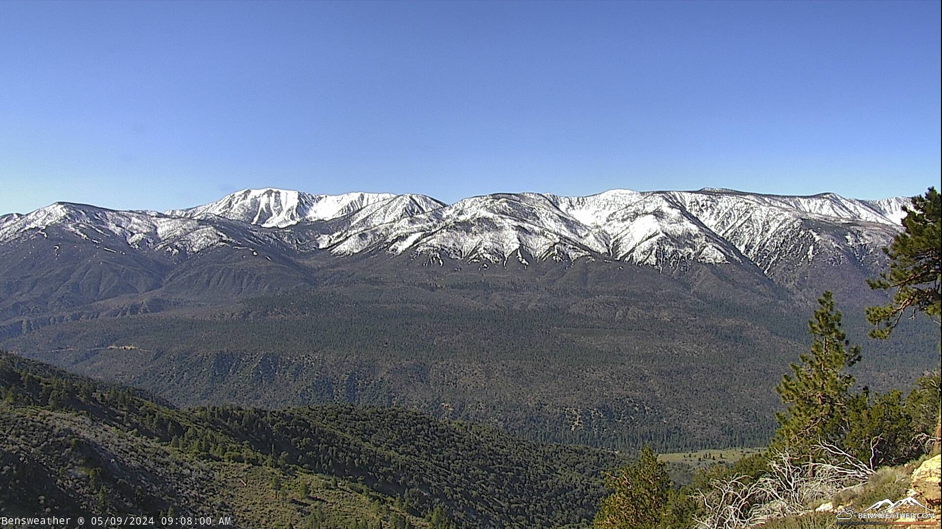
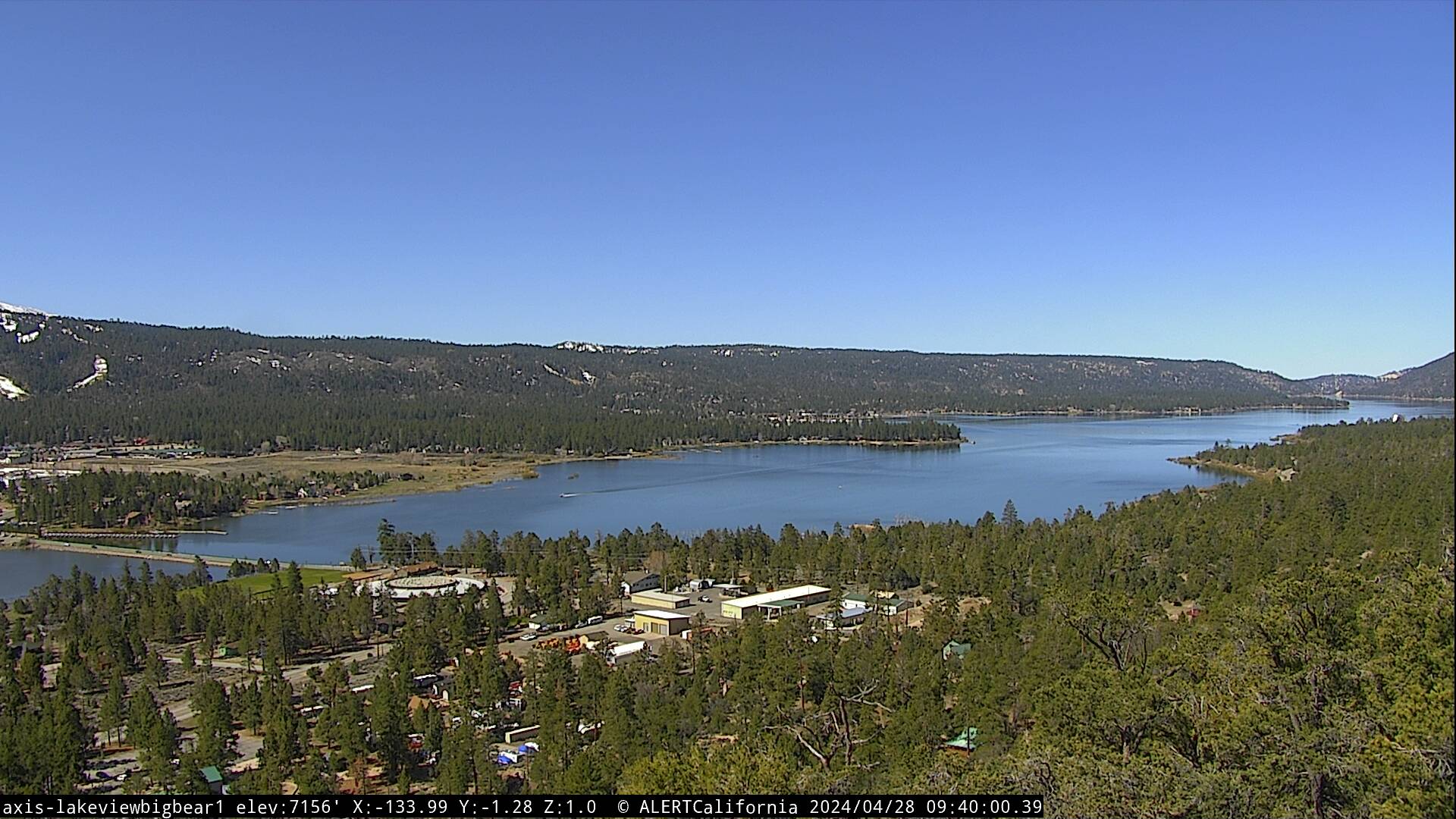
| Experienced a warm weekend as temperatures reached the mid to upper 80s. Expect some minor cooling through early this week before more noticeable cooling kicks in later this week. We'll also have to watch for the return of monsoon moisture, which could spark some afternoon thundershowers. Looking at a warm start to the week today, with highs in the mid-80s under mostly sunny skies with areas of haze from Western wildfires. West to southwest winds will continue 5-15 mph with gusts to 20 mph during the afternoon. High pressure will drift over the Four Corners by the middle of the week, allowing the flow to turn from the east to southeast. This will advect mid- and upper-level tropical moisture into our area, resulting in some afternoon clouds. Instability should increase enough by the end of the week to fire off showers & thunderstorms over our mountains and deserts. An easterly wave may also help enhance thunderstorm activity and could push it west of the mountains. The increase in clouds & humidity will bring temperatures back down closer to average, with daytime highs hovering around 80 degrees through next weekend.
|
|
 |